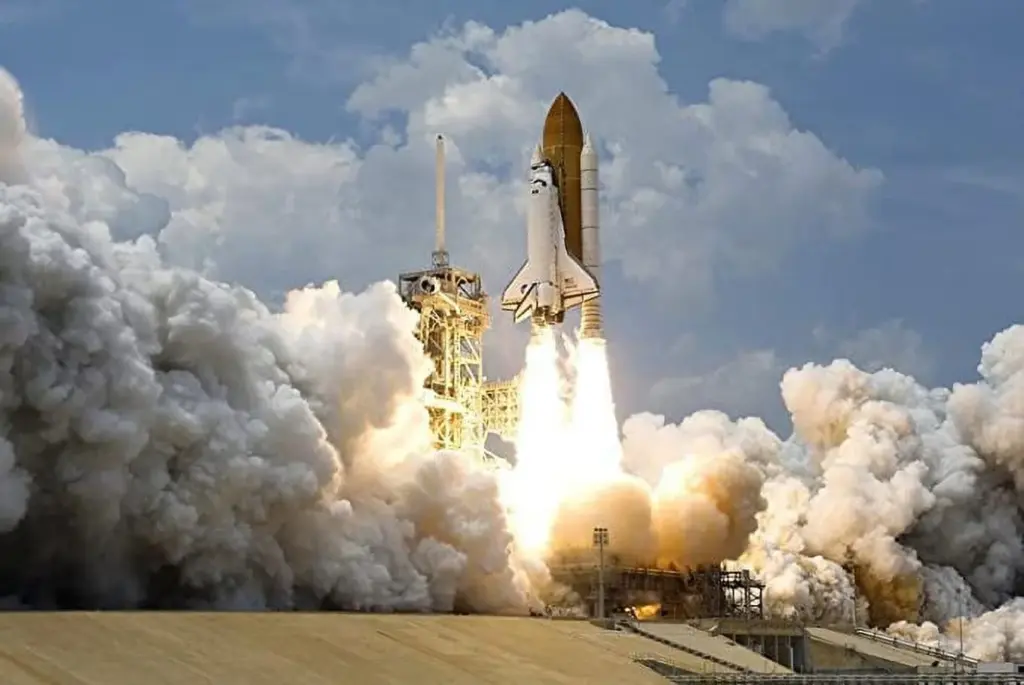
NASA to Launch Series of Rockets to Study Unexplained Ionospheric Clouds Disrupting Global Communications—that’s the full-on scoop. NASA’s launching a trio of uncrewed Terrier–Improved Malemute sounding rockets from Kwajalein Atoll, as part of the SEED mission (Sporadic‑E ElectroDynamics). The mission targets mysterious Sporadic‑E plasma layers—ionized clouds that randomly pop up at ~60–160 km altitude and wreck GPS, radio, aviation, and radar signals.

I’ve spent years deep-diving into space weather, hanging with geophysicists and avionics engineers, analyzing radar returns, and tracking rocket flights. This article keeps it Native-esque and conversational—light enough for a curious 10‑year‑old, but meaty enough for engineers, space scientists, and mission planners. Let’s roll!
NASA to Launch Series of Rockets to Study
| Aspect | Detail |
|---|---|
| Mission | SEED (Sporadic‑E ElectroDynamics) — NASA (science.nasa.gov) |
| Launch site | Kwajalein Atoll, Marshall Islands (near magnetic equator) |
| Rocket type | Terrier–Improved Malemute two-stage, 150–300 km apogee |
| Launch window | June 13–30, 2025 (3-week campaign) |
| Objective | Probe Sporadic‑E plasma layers (~60–160 km) disrupting global communications |
| Payload instruments | Langmuir probes, magnetometers, electric-field booms, vapor tracers |
| Real-world impact | Boost GPS accuracy, aviation safety, military radar reliability, satcom resilience |
| Careers & roles | Space physicists, aerospace engineers, systems integrators, data scientists, FAA safety analysts |
| Official site | NASA SEED mission page |
NASA’s SEED mission is on deck to handle some seriously sneaky upper-atmospheric troublemakers—Sporadic‑E plasma clouds that have been giving GPS, aviation, and radar a headache. By launching sounding rockets, releasing tracer clouds, and picking apart plasma dynamics up close, we’re on track to predict and mitigate communication errors, build safer navigation systems, and make it easier for satellites and radars to keep doing their thing—but smarter.
So, whether you’re a kid dreaming of rockets, an engineer building the next GPS receiver, or a space-weather pro analyzing plasma flows—SEED brings data and tools that’ll power next-gen resilience in our high-tech world.

1. What’s a Sporadic‑E Cloud?
1.1 The Basics
Sporadic‑E are random bursts of ionized plasma that cluster in patchy “clouds” 60–160 km up. They can’t be seen, but radars detect them as mirror-like structures that bounce back radio waves unexpectedly.
1.2 Why They’re a Big Deal
When these layers show up, they can:
- Disrupt GPS signals, making navigation go wacky
- Mess with VHF/HF radio, used in aviation and maritime
- Create “ghost targets” on military radar
- Scramble satellite comms and increase orbital drag & errors
This isn’t sci-fi—it’s impacting flights, positioning systems, and national defense in real time.
2. Why Is SEED Blowing It Up?
2.1 Equatorial Mysteries
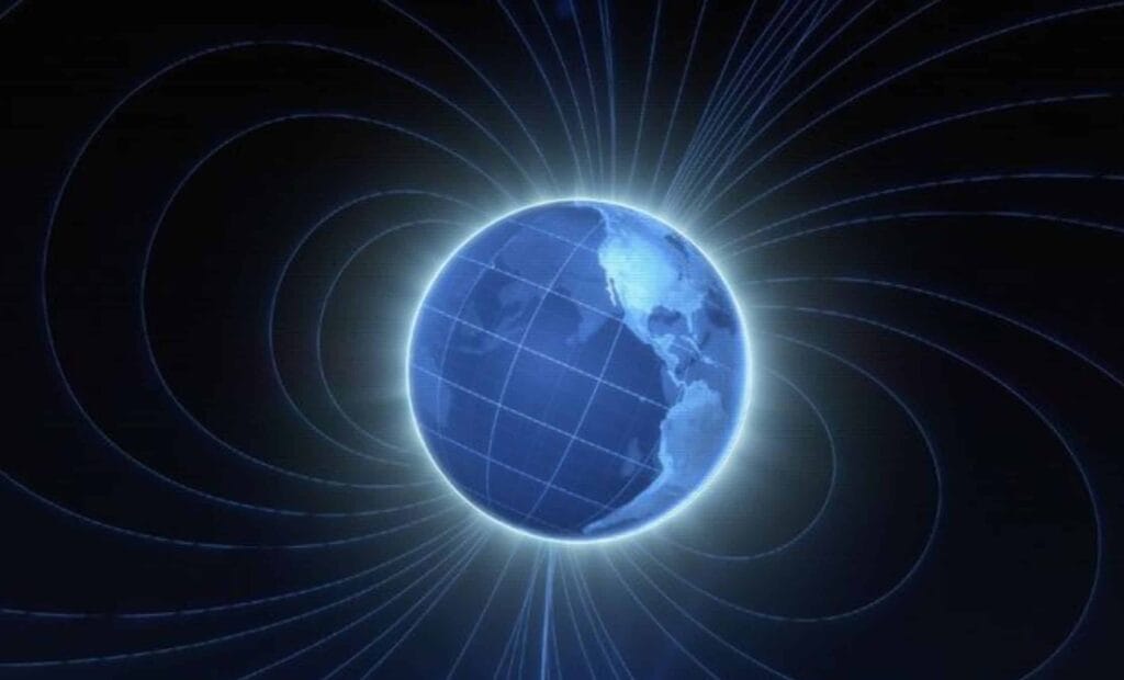
At mid-latitudes, Sporadic‑E forms thanks to wind shears in magnetic field lines. But near the equator—like at Kwajalein—the lines lie flat, so they shouldn’t form. Yet they do. SEED’s testing theories involving field-aligned currents and density–temperature quirks in these layers.
2.2 The Payload & Instruments
Each rocket carries:
- Langmuir probes & multi-needle probes: measure electron density
- Magnetometers & electric field booms: capture field structures
- Temperature/current sensors: examine wind/shear vs electric field interplay
- Trimethyl aluminum vapor tracers: light up the sky so radars/cameras can track movement (daytonabeach.erau.edu)
2.3 Twin Launches
Two rockets will fly on separate nights—so streaks of apples-to-apples data across different conditions make SEED robust.
3. How the SEED Mission Works: NASA to Launch Series of Rockets to Study
- Ground Monitoring: Ground radar (ALTAIR) and GPS–TEC networks scan for electron density spikes—signs Sporadic‑E is brewing. (science.nasa.gov)
- Launch: Once triggered, a Terrier–Improved Malemute rockets skyward within minutes—hitting altitudes between 150–300 km with ~26 g acceleration.
- In-situ Sensing: Onboard sensors collect real‑time plasma, field, temperature, and current data as the rocket ascends through the cloud.
- Vapor Tracer Release: At 100 km up, vapor tracers light up the plasma patch. Ground systems map these tracer clouds in 3D.
- Ground Tracking: Radars and cameras track tracer drift—giving insight into wind patterns and layer dynamics.
- Data Fusion & Forecasting: All data gets crunched into advanced physics-based models to predict Sporadic‑E events in real-time—a game-changer for comm systems.
4. Real-World Impacts & Examples
4.1 Aviation & GPS
In 2024, Sporadic‑E disrupted GPS, causing flights to reroute and navigation systems to miscalculate—costing tens of millions in delays and safety risks.
4.2 Military Operations
Radar seeing “ghost” objects can trigger false alarms or jam detection systems—big deal for missile defense and security systems.
4.3 Sat–Comm & Orbits
Communications to low-Earth satellites degrade, and unmodeled ionospheric drag increases can shorten mission lifetimes. SEED helps build resilient systems to mitigate these real-world losses.
5. Building on NASA’s Legacy
SEED follows in the footsteps of:
- ICON (2019–2022): studied space‑weather effects in the upper ionosphere.
- EVEX (2013): examined equatorial plasma plumes using two rockets at Kwajalein.
- CARE (2009–2015): used dust injection to study atmospheric anomalies
- SEED adds equatorial Sporadic‑E layers into the mix, tackling tough gaps in theory.
Career & Collaboration Opportunities
Got skills in:
- Space physics? Join teams running models or analyzing ionospheric dynamics.
- Aerospace engineering? Payloads, rocketry, system integrators needed for sounding rocket missions.
- Systems engineering? You can join ground‑station setup, sensor network architecture, and data pipelines.
- Data science & AI? Help build real‑time predictive models to forecast Sporadic‑E events.
- Aviation & satellite safety? Integrate warning tools into navigation, flight systems, and radar filtering.
NASA, NOAA, FAA, DoD, and private aerospace all have a seat at this table.
Related LInks
MIT Researchers Explore Whether Gravity Has Quantum Properties: Check Details!
Astronomers Detect Bizarre Repeating Signals From Space — Unlike Anything Ever Seen Before
What’s Next for SEED?
- Better GPS routing in tropical zones by the end of 2026
- Aviation navigation alerts during Sporadic‑E events
- Military radar filters to ignore fake targets
- Satellite planning tools to adjust to real-time ionospheric changes
- Global monitoring networks leveraging SEED data
SEED isn’t a one-off—it’s paving the path to smart, adaptive space-weather defense systems.
Tips & Tech Takeaways
- NAVs engineers: Integrate SEED data into accuracy algorithms
- Aerospace firms: Develop radar filters or iono-resilient receiver modules
- Academics: Join model validation and theoretical studies
- Students: That’s for y’all—look into summer internships or channels via Embry-Riddle, Clemson, and NASA
FAQs
Q1: Are Sporadic‑E clouds dangerous to people?
No, not directly—you’re not flying through them. But they can sneakily ruin crucial systems like GPS and radar, which matter a whole lot to safety and security.
Q2: How often do these happenings occur?
Totally sporadic—they pop up unexpectedly and change fast, sometimes forming and dissipating within minutes to hours.
Q3: Why do rockets drop vapor tracers?
Because plasma is invisible! When tracers mix with the layer, ground gear can visibly map its shape and movement.
Q4: How many rockets are part of SEED?
The mission plans two primary flights over the ~June 13–30 window, each on different nights to capture different conditions.
Q5: When will systems start reacting to SEED data?
NASA and partners expect to pilot predictive systems (for GPS, aviation) within 1–2 years post-flight—going from maps to mitigation.


